UN
4 Broad Lane
£ 147,000
Description
We don't have a Description for this property.
- Bedrooms
- 3
- Bathrooms
- 0
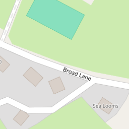
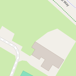


Leaflet © OpenStreetMap contributors
The heatmap indicates the level of crime in the area. The color of the heatmap indicates the crime severity and recency.
Metrics Year-on-Year
- Average area value
- 614,428.00 £Increased by 5.11 %
- Average area rental value
- 1,569.00 £/moIncreased by 44.21 %
- Est rental Yield
- 3.06 %Increased by 37.22 %
- Crime Rate
- 35.00 %Unchanged by 0.00 %
from 584,545.00 £
from 1,088.00 £/mo
from 2.23 %
from 35.00 %
Nearby Schools
| Name | Type | Ofsted | Distance |
|---|---|---|---|
| Pensby High School | Foundation School | Good | 1.89 KM |
| Heswall St Peter'S Cofe Primary School | Voluntary Aided School | Good | 1.99 KM |
| Ladymount Catholic Primary School | Voluntary Aided School | Good | 2.35 KM |
| South And West Hub - Pensby Children'S Centre | Children's Centre | 2.38 KM | |
| Pensby Primary School | Community School | Good | 2.85 KM |
Images
Nearby Streets
| Name | Average Price | Average Sqft | Distance |
|---|---|---|---|
| Dawstone Court | £ 0 | 0 | 0.00 KM |
| Circular Drive | £ 600,000 | 0 | 0.00 KM |
Nearby Transport
| Name | NLC | TLC | Distance |
|---|---|---|---|
| Heswall | 2138 | HSW | 5.16 KM |
| Neston | 2139 | NES | 7.48 KM |
| Upton (Merseyside) | 2141 | UPT | 7.67 KM |
| West Kirby | 2201 | WKI | 8.65 KM |
| Flint | 2513 | FLN | 8.80 KM |
Nearby Listings
| Address | Price | Type | Score | Distance |
|---|---|---|---|---|
| Mostyn Avenue, Heswall, Wirral | £ 375,000 | BUY | Unknown | 0.08 KM |
| Mostyn Avenue, Heswall, Wirral, CH60 | £ 375,000 | BUY | Unknown | 0.08 KM |
| Mostyn Avenue, Heswall, Wirral | £ 500,000 | BUY | 7 / 10 | 0.11 KM |
| Mostyn Avenue, Heswall, Wirral, CH60 | £ 275,000 | BUY | 7 / 10 | 0.19 KM |
| Broad Lane, Lower Heswall, Wirral | £ 850,000 | BUY | 7 / 10 | 0.20 KM |
Nearby Properties
| Address | Price | Distance |
|---|---|---|
| 14 Broad Lane | £ 290,000 | 0.00 KM |
| 4 Broad Lane | £ 147,000 | 0.00 KM |
| Roanne | £ 397,000 | 0.02 KM |
| 10 Broad Lane | £ 205,000 | 0.02 KM |
| 2 Broad Lane | £ 276,000 | 0.02 KM |